MTB Shuttles >
Kokopelli:
Kokopelli Trail Shuttle & Trip Guide
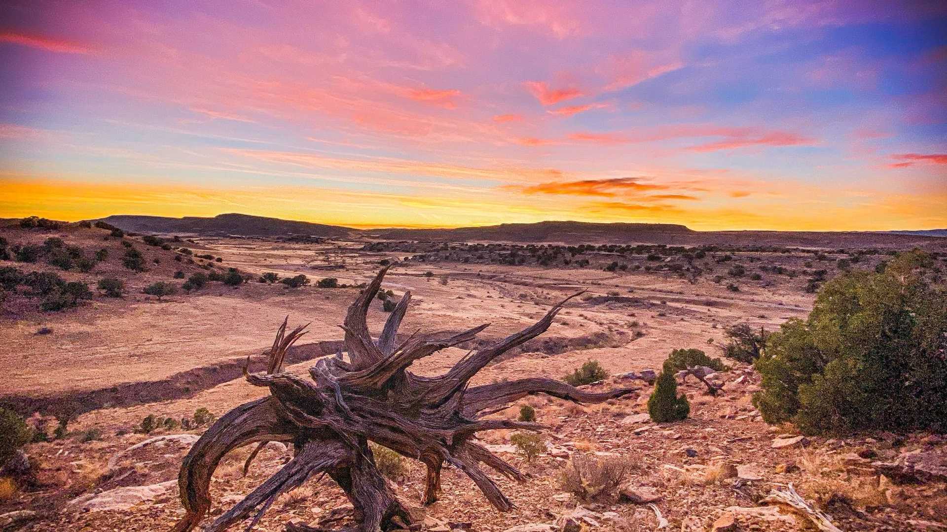
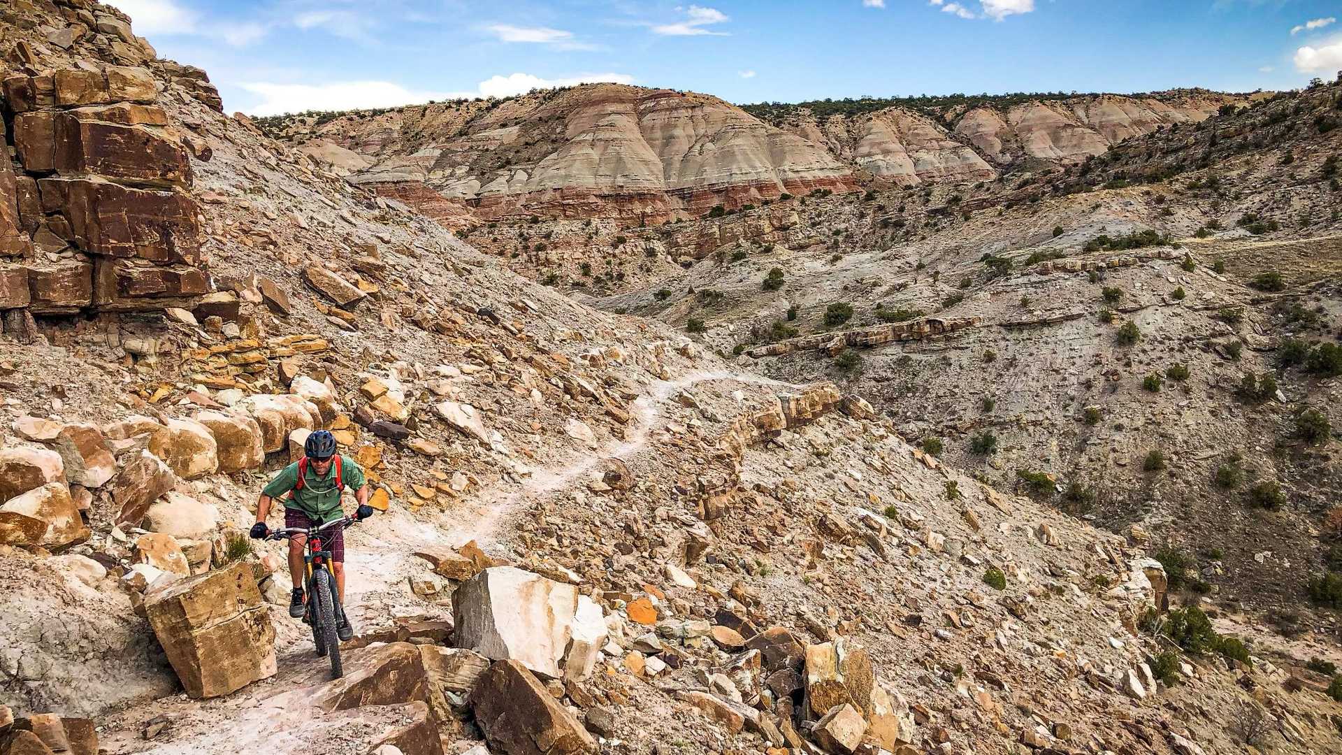
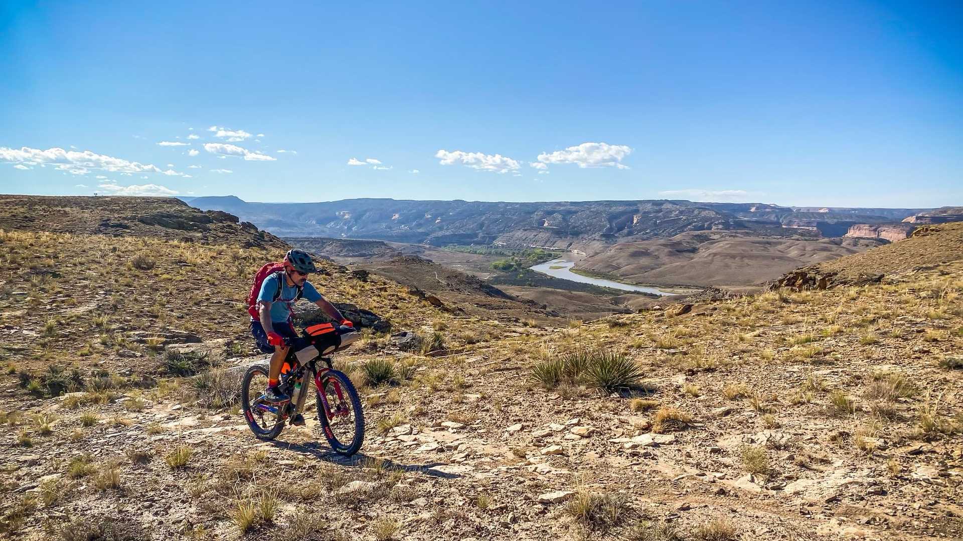
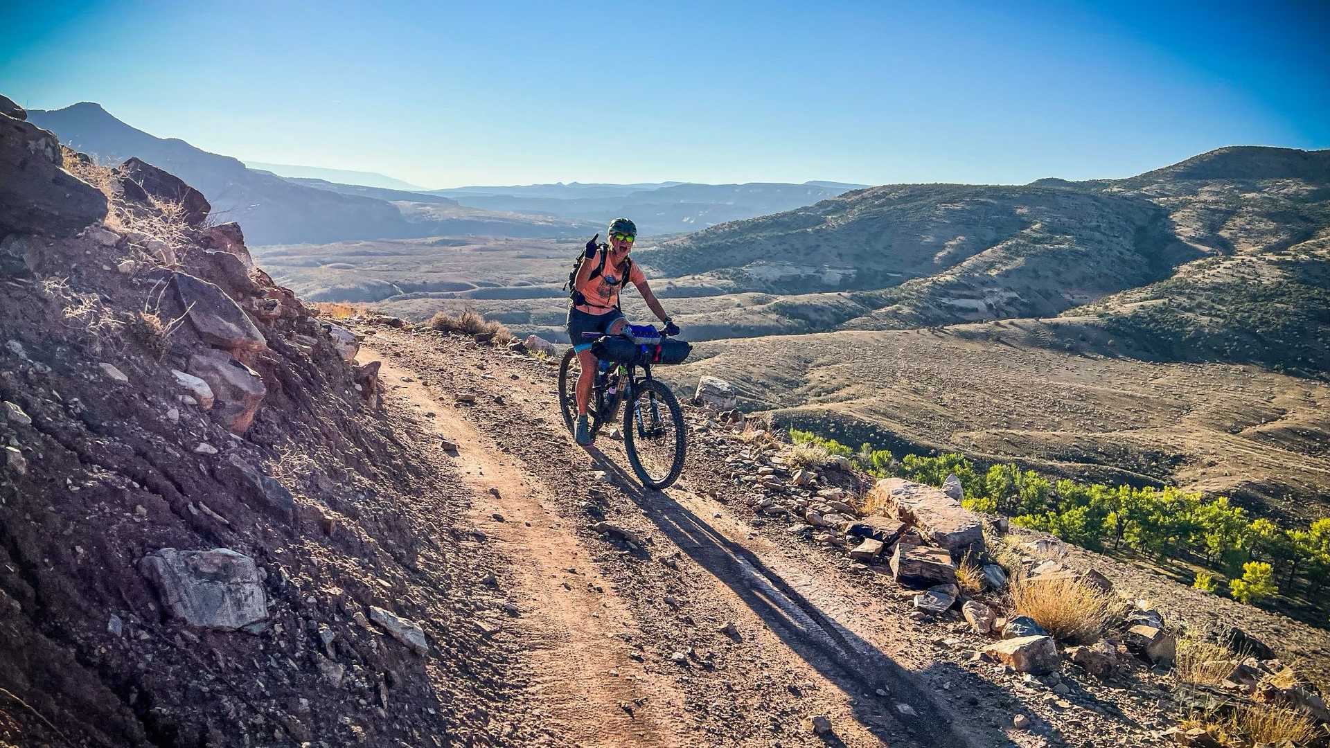
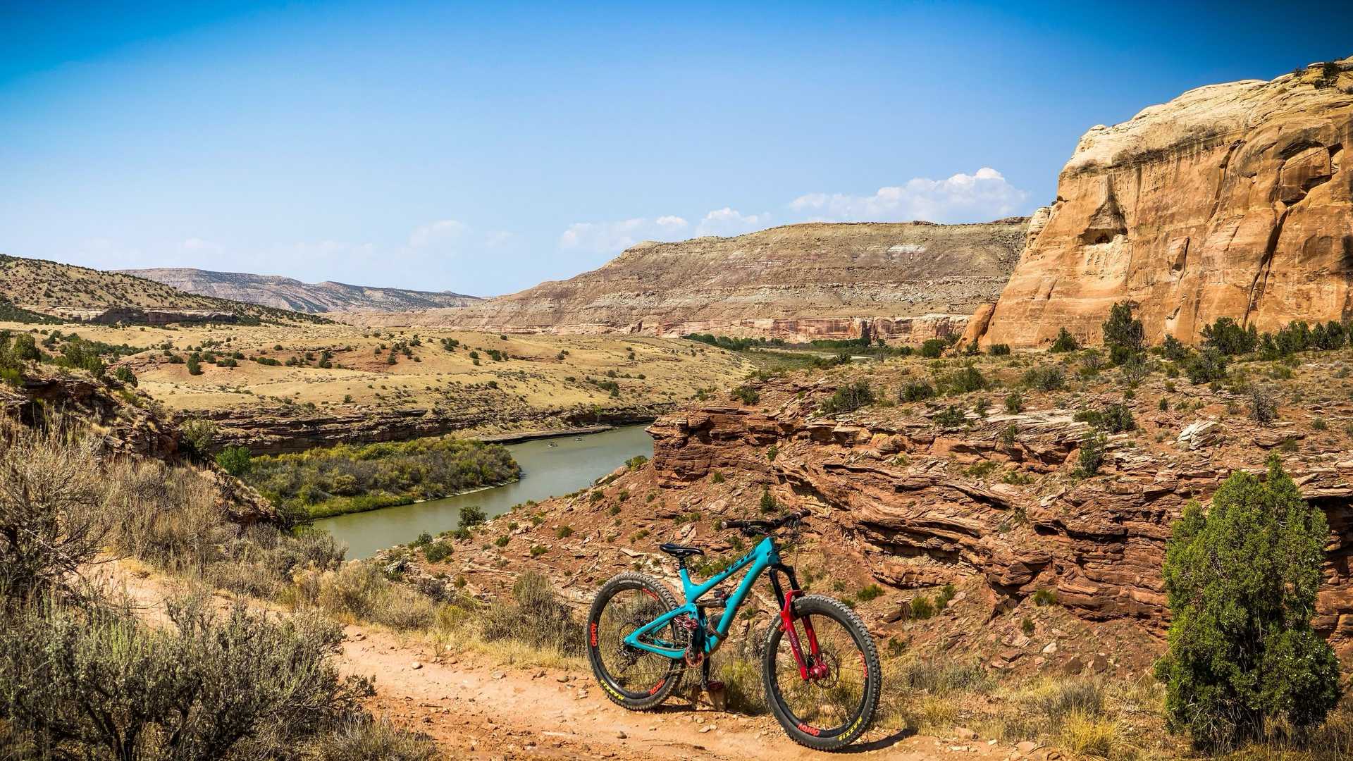
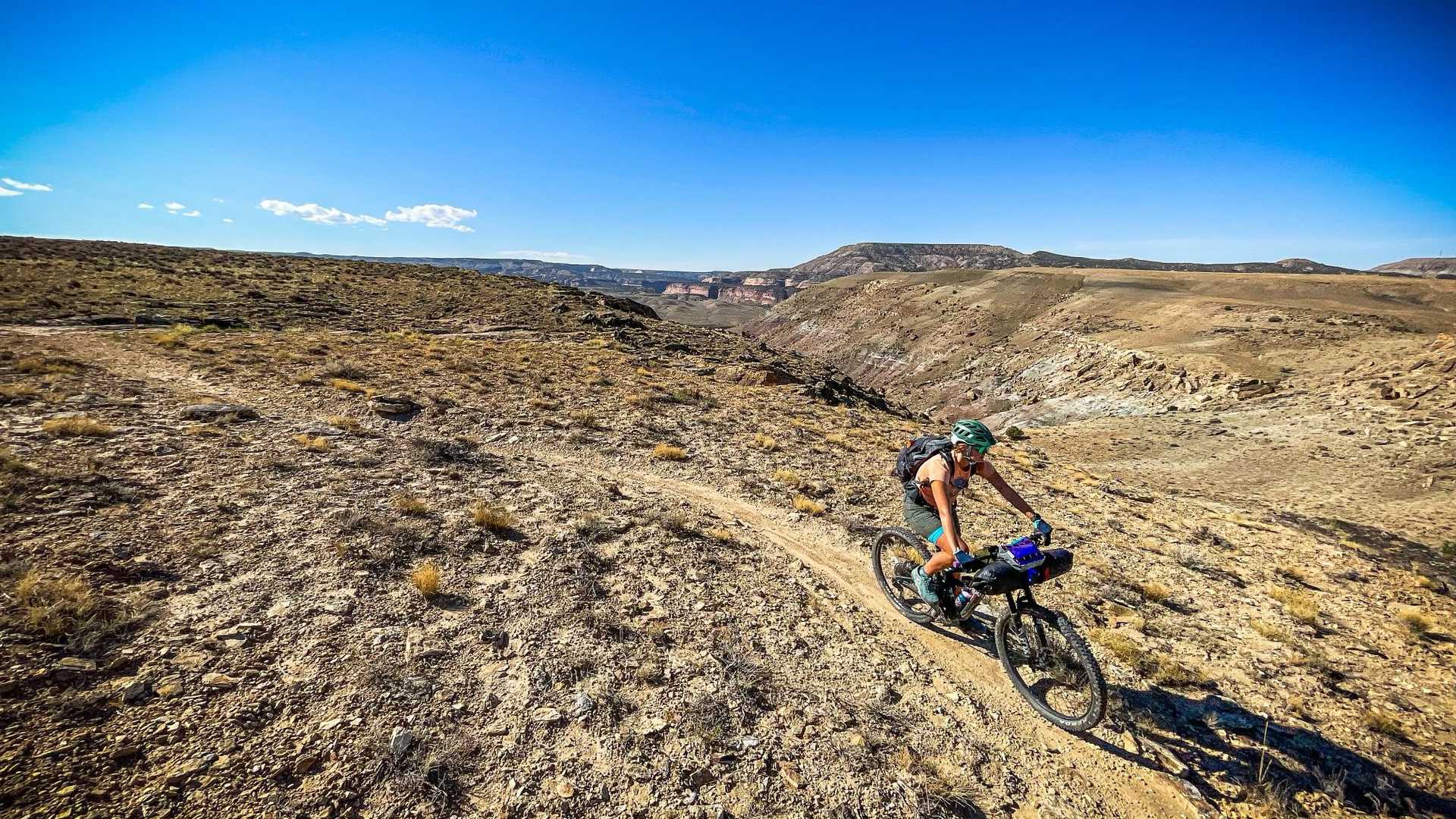
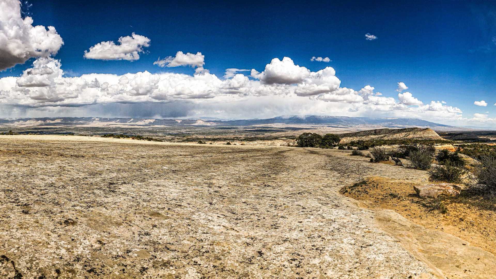
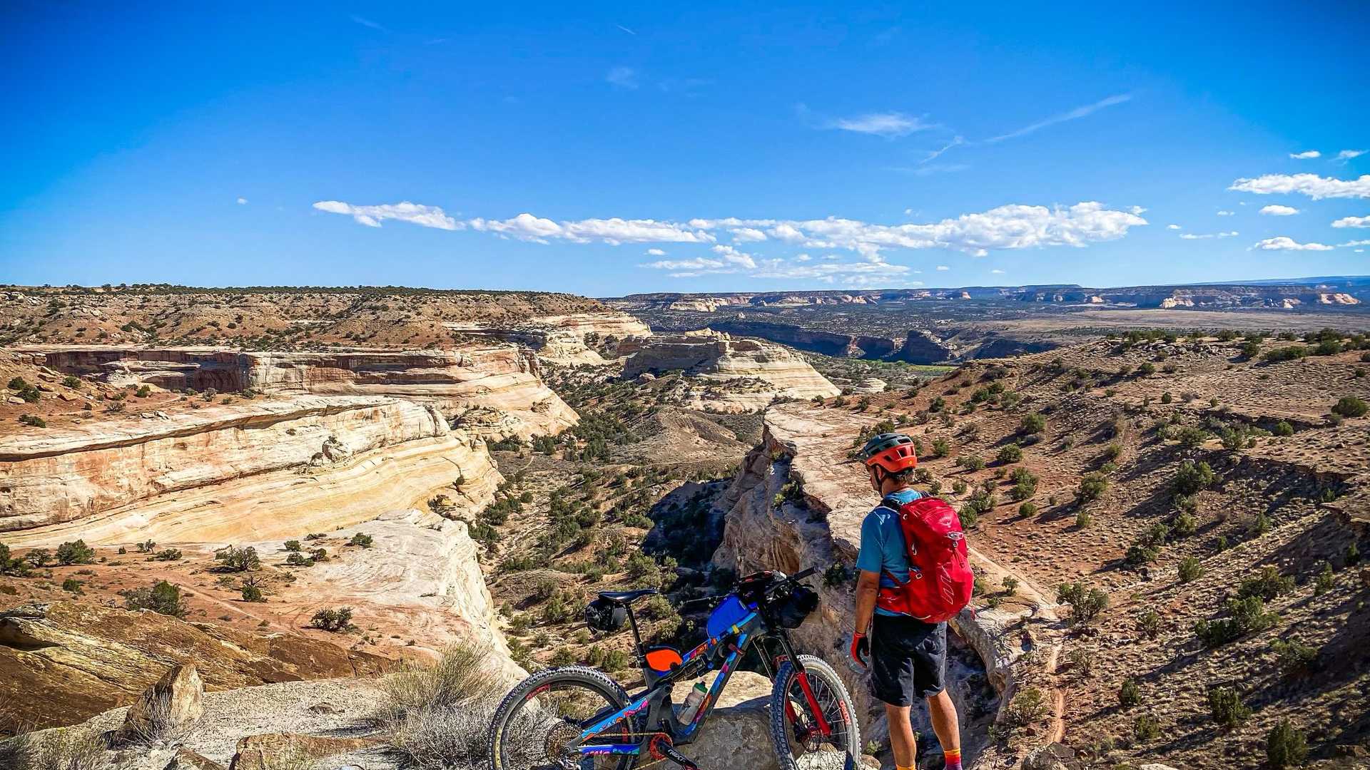
The Kokopelli Trail offers a world-class bike-packing experience, spanning 142 miles of singletrack, jeep roads, and scenic paved sections. Connecting the mountain biking hubs of Fruita, CO and Moab, UT, this trail is a true test of endurance and self-sufficiency.
How Our Shuttle Works
We provide professional transport between Moab and the Fruita/Grand Junction areas to make your logistics seamless.
- Secure Your Date: Book via our online system to lock in your shuttle window.
- Provide Trip Details: Once your itinerary is set, we will collect:
- Exact pickup and drop-off locations.
- Preferred departure time.
- Water drop locations (if selected).
- Day-of Departure: Our drivers arrive 15 minutes early to professionally load bikes and gear, ensuring we hit the road on schedule.
- Sit Back & Relax: Enjoy the scenic drive to Colorado in comfort. We drop you off directly at your lodging or the trailhead.
Pricing & Logistics
| Route | Group Size | Price |
|---|---|---|
| Moab to Fruita (Loma) | 1–4 People | $325.00 (min) |
| 5–8 People | $400.00 | |
| Moab to Grand Junction | 1–4 People | $350.00 (min) |
| 5–8 People | $425.00 | |
| Water Drops | 1–2 Locations | $75.00 |
Note: Groups of 4 or fewer use a standard vehicle; groups of 5+ use a spacious 15-passenger van.
Water Drop Locations
We offer water drops at three strategic locations (you may select two):
- Rabbit Valley: View Map
- Dewey Bridge: View Map
- Cisco: View Map
Vehicle Storage in Moab
If you need a secure place to leave your vehicle while on the trail, consider these local providers:
- A-1 Storage: 1191 South Highway 191 | 435-259-5991
- Carroll's Storage: 1181 South Highway 191 | 435-259-6191
- Moab Valley Storage: 4336 Sunny Acres Lane / 2420 W. Terrace Dr. | 435-259-3319
- Star Point, LLC: Specializes in Auto, ATV, and RV storage.
Trail Essentials
- Self-Supported: There are no food resupply areas on the trail.
- Water Strategy: Natural water is minimal. Research viable sources and utilize our water caching service.
- Timing: Typical ride time is 3 days (fast) or 4–5 days (leisurely).
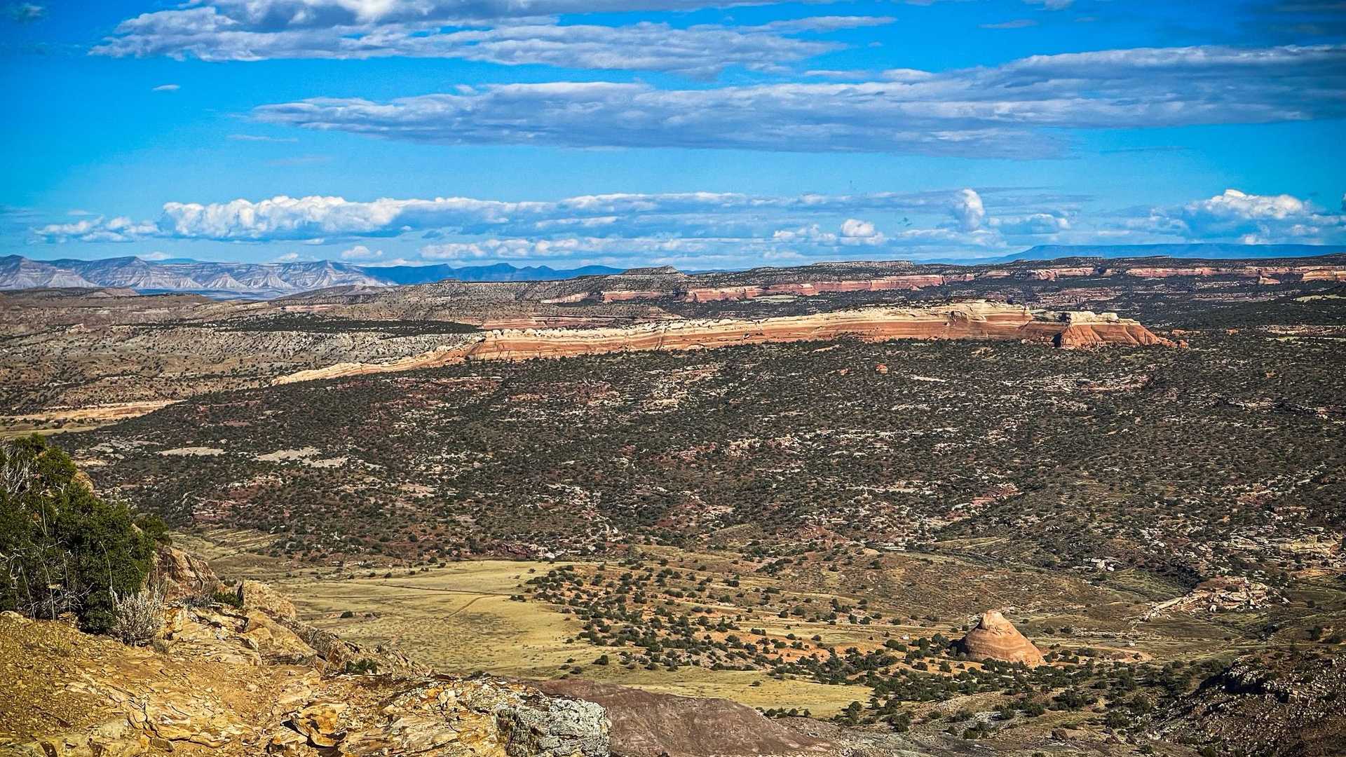
- Climate: Best in Spring and Fall. Summer is dangerously hot; early Spring/late Fall can see snow at the 8,500 ft peak in the La Sal Mountains.
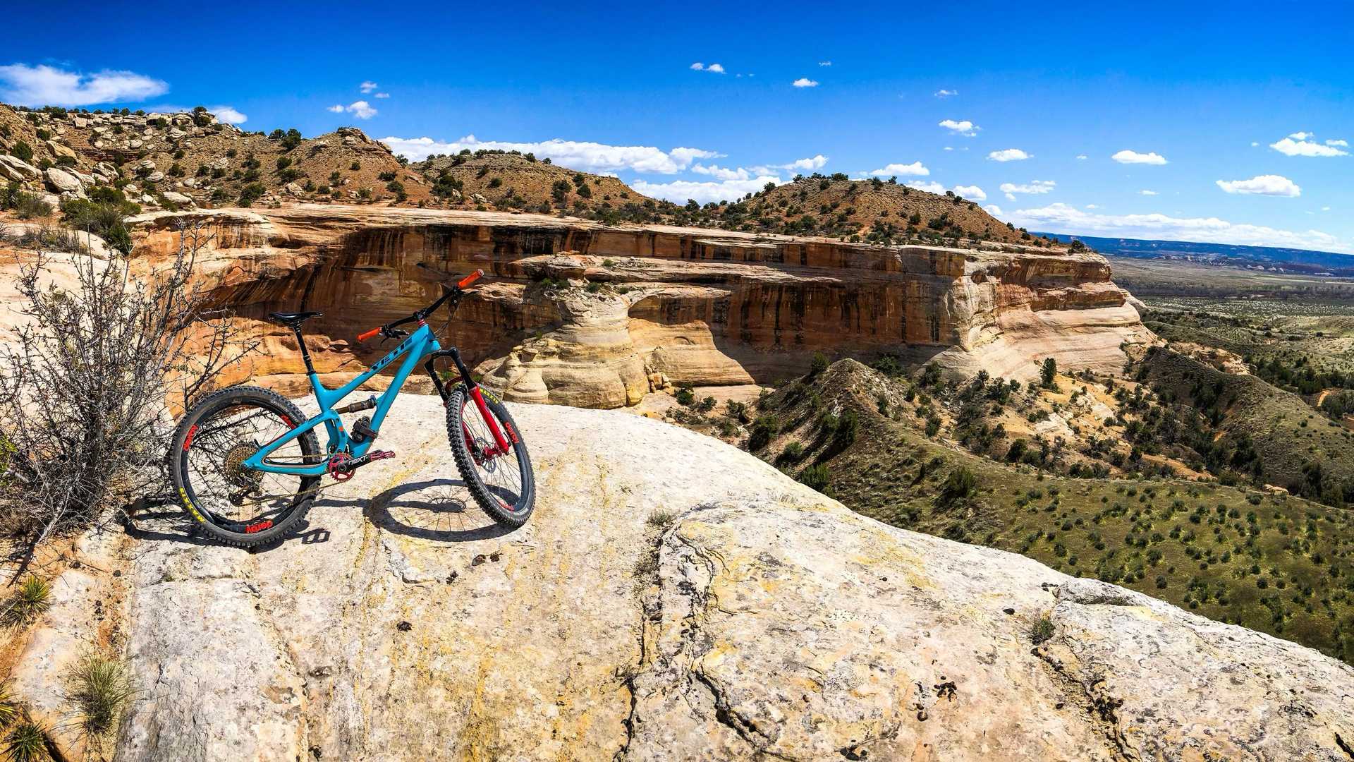
Trail Segments
| # | Route | Dist. | Terrain Highlights |
|---|---|---|---|
| 1 | Loma to Rabbit Valley | 21 Mi | Mary's Loop singletrack & river rim. |
| 2 | Rabbit Valley to Cisco | 34 Mi | Jeep roads and a short asphalt section. |
| 3 | Cisco to Dewey Bridge | 20 Mi | Pavement, singletrack, and a 1,000' sandy climb. |
| 4 | Dewey Bridge to Fisher Valley | 18 Mi | Rugged gravel; 2,500' climb. |
| 5 | Fisher Valley to Castle Valley | 25 Mi | 3,500' climb to La Sal Mountains; 2,000' descent. |
| 6 | Castle Valley to Moab | 27 Mi | Mason Draw climb; 4,000' descent via Porcupine Rim. |