

Summary:
This trail begins nice and easy, on an open dirt cross-county section trending upward, though it would not be classified as a climb. It's an intermediate level nearly 10 mile ride that you are sure to enjoy.
Category: Trails
7-Up Trail Difficulty / Rating
▣ Intermediate
7-Up Trail Statistics
9.8 MILES / 462′ ELEVATION GAIN / 4% AVE / 14% MAX
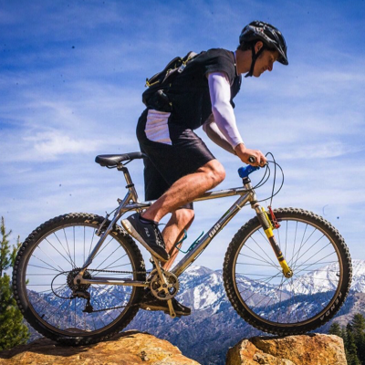
Best Way To Ride 7-Up
The 7-UP trail is an intermediate 9.4 mile trail. However, if you are accessing 7-UP from the top of Gemini Bridges Road (Entrance to Mag-7), there is an additional 1.5 mile ride on the Getaway trail to reach the 7-UP entrance.
The trail begins nice and easy, on an open dirt cross-county section trending upward, though it would not be classified as a climb. After about a half mile, you reach a techy section. While following aqua blue painted lines, you encounter small mild ledge drops across sandstone, twisting and turning between juniper and Pinyon pine trees.Spectacular views of Monitor and Merrimac Buttes spread out to the North, and of the La Sal Mountains to the South. After crossing a small tight cattle guard, you emerge onto the opposite side of the rim. To your left, there is a shallow valley filled with beautiful red rock formations.
At about mile 1.7, you will reach the intersection of Wildcat trail. The trail gets quite fun here, with mixed singletrack dirt and sandstone sections, combined with moderate and intermediate tech moves. Soon afterward, you will reach a sign for the 7-UP Single Track (ST) and the 7-UP Road. Both trails will eventually converge in the same place. The singletrack portion is more fun, but slightly longer. The next intersection at about mile 2.58, will be with the Hildago trail. Continue on 7-UP, and start climbing steady uphill segments, not too punchy or steep, just short sustained brief climbing moves. Once you top out, enjoy a really fun downhill section with small bumps and ledges, before it mellows out into a mild decline.
At Mile 5, you will reach another trail junction and sign. Here, you have an early bailout option to highway 191. Simply follow the white painted lines to the double track jeep road, for about 1.5 miles. To continue on 7-UP, stay to the right on the double track, for another 4 plus miles. The trail finishes at the road near the second hairpin turn, but there's no sign, so it's a little tricky to find. Look for a few cairns.
Best Months To Ride 7-Up
STAY ON LINE. PROTECT FRAGILE BIOLOGICAL SOIL CRUST, POTHOLE ECOSYSTEMS & PLANT LIFE. STAY ON LINE. THANK YOU LEARN MORE
Related 7-Up Links
Trails Nearby 7-Up
- Portal Trail ◈◈
- Getaway ▣
- Great Escape ▣
- Bull Run ▣◈
- Gold Bar Singletrack ◈◈
- Golden Spike ◈
- Rusty Nail ◈
- Arths ▣
- Little Canyon ▣
- Gold Bar Rim ◈◈
- Poison Spider Trail ◈
- 7-Up ▣
Tags:
Hazard County Shuttle is the only shuttle company in Moab that offers mountain bike trailhead departures for Mag-7, Porcupine Rim Classic, Raptor Route, and the Whole Enchilada Lower Section.
Contributing since February 17th, 2022.